UAS Crime & Accident Scene Mapping Course
Basic Course Presentations
*CALIFORNIA POST CERTIFIED
February 5, 2025 - Orange County, California
The Regional Training Center @ the Fountain Valley Campus
Advanced Course Presentations
April 23-25, 2025 - Fountain Valley, California
The Regional Training Center @ the Fountain Valley Campus
UAS Basic Scene Mapping Course Summary
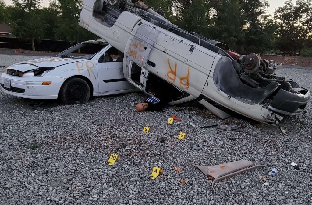
Using Unmanned Aerial Vehicles (UAVs) for scene documentation has emerged as an extremely accurate and efficient tool for public safety. It is remarkable to consider that if it can be seen with the naked eye, enhanced magnification, thermal imagery, or with an infrared camera, it can be almost perfectly preserved forever. Proper use of this technology has truly improved the level of service provided to the public.
In this hands-on course, students will:
• Explain unmanned aircraft capabilities
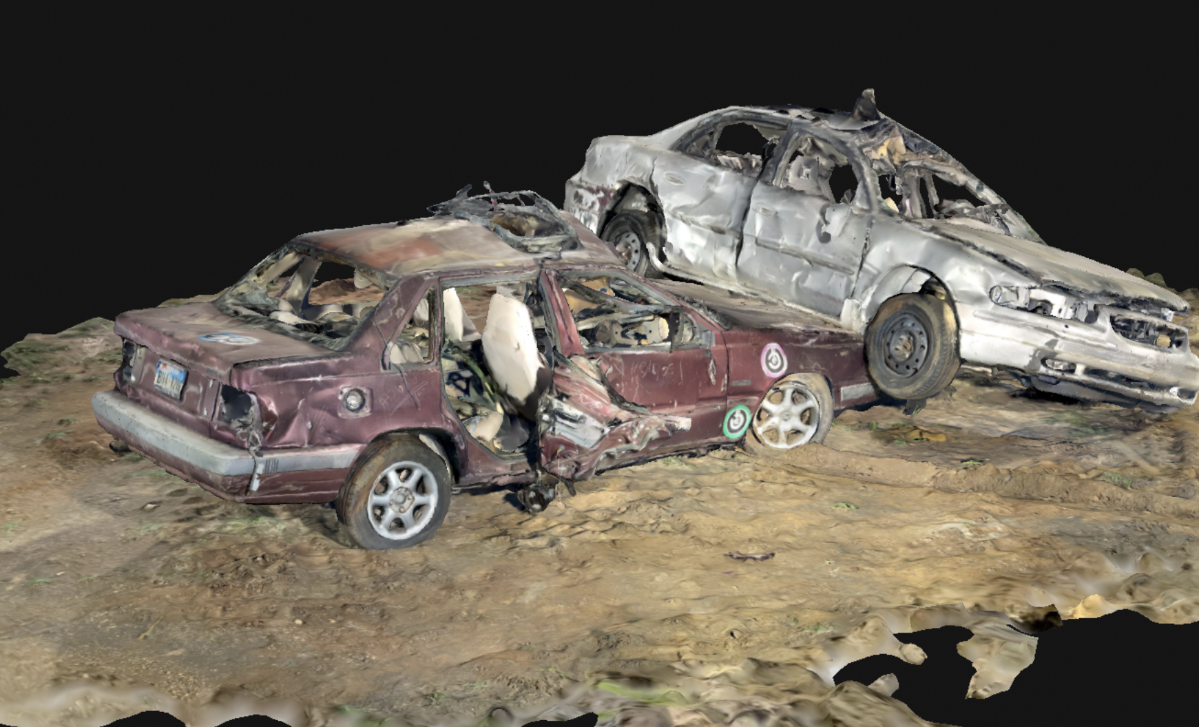
• Identify agency use of 2D and 3D models
• Explain effective techniques for photography and videography
• Select UAV-CSI equipment and software
• Demonstrate crime/accident scene processing using 2D and 3D mapping
• Demonstrate expert courtroom testimony
This course is allowable as a Robert Presley Institute of Criminal Investigation (ICI) Universal Elective.
Course Information
Course Length: 3 days (24 hours total)
Max Class Size: 15 Students
Equipment: All training equipment is provided by the RTC
Recommended Prerequisite: The RTC 48-hour UAS Operators Course, or 32-hour Basic Pilots Course, or equivalent flight training
Student Requirements: FAA 107 License
Technical Level: Intermediate UAS Operators
Recommended For: Criminalists, Accident Investigators, Detectives, UAS Operators
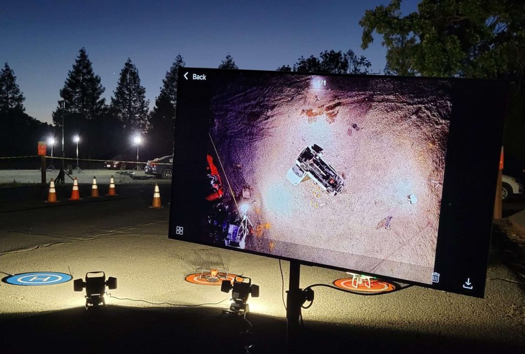
Notes: Start time for Day-2 will be adjusted to allow for nighttime scene lighting and mapping
UAS Advanced Scene Mapping Course Summary
Using Unmanned Aerial Vehicles (UAVs) for scene documentation has emerged as an extremely accurate and efficient tool for public safety. It is remarkable to consider that scenes can be preserved forever if seen with the naked eye, enhanced magnification, thermal imagery, or with Lidar. Proper use of this technology has truly improved the level of service provided to the public. In this hands-on course, students will:
- Select equipment and software needed
- Demonstrate proper scene lighting
- Describe proper settings and techniques for photography and videography
- Demonstrate scene mapping
- Demonstrate data integration from UAVs, Total Station, viDoc, and other sources for 3D models
- Collect ground control points using a GNSS system
- Learn Pix4D, Terra, Reality Capture, Drone Deploy, Sky-Browse
- Prepare for expert courtroom testimony
Course Information
Course Length: 3 days (24 hours total)
Max Class Size: 15 Students
Equipment: All training equipment is provided by the RTC
Recommended Prerequisite: The RTC 48-hour UAS Operators Course, or 32-hour Basic Pilots Course, or equivalent flight training
Student Requirements: FAA 107 License
Technical Level: Intermediate & Advanced UAS Operators
Recommended For: Criminalists, Accident Investigators, Detectives, UAS Operators
Notes: Start time for Day-2 will be adjusted to allow for nighttime scene lighting and mapping
Testimonials
Mailing Address:
17595 Mt. Herrmann St.
Fountain Valley CA 92708
office: (888) 782-4969
support@thertc.org

© The Regional Training Center 2025
Fountain Valley, California :: Burnet, Texas :: Land O’ Lakes, Florida
